A Chinese could travel 2.000 kilometers from the Everest to Ayding lake without crossing any border. In order to do he only needs to walk from one of the lowest points on Earth (-154 meters below the sea level) to the peak of the planet at 8.840 meters. This odyssey includes 9.000 meters of unevenness, the greatest different between higher and lower heights point in a country on planet Earth.
This is a curiosity that you can easily visualize thanks to a graphic that shows the elevation span of every country in our world. The graphic shows the distance in kilometers between highest and lowest points in each country, and China has one of the most impressive geographical varieties.

Higher and lower heights in each country and the history itself
The extreme Chinese geography also relates to history. Nowadays the Ayding lake is a muddy wasteland at the hearth of Xinjiang. The Everest, on the other hand, signals the border between Nepal and China and the physical barrier that reduced Indian civilization presence in the region.
Other countries show a small difference between higher and lower heights. For example, in the Maldivas the lowest point is 0 meters and the highest only reaches 5 meters above the sea level. In Qatar the highest peak reaches only 100 meters. Each country has its own peculiarities and thanks to Fascinating Maps you can see them on a very easy to comprehend graphic.
The country of the depths
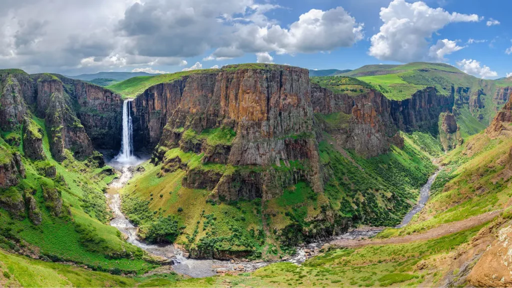
Lesotho is a small country in South Africa where the lowest point reaches 1.400 meters below the sea level. It’s a very curious spot on a continent where you can find great mountains and higher peaks like in Ruanda or Uganda.
The media height
Checking the graphic you can learn certain curiosities about the altitude of the countries and also how it affects the weather and terrain. Technology and information to the service of learning about the world that surrounds us.

